
If you’re searching for a detailed ✔️ Ha Giang Loop map, you’re likely preparing for one of the most unforgettable motorbike adventures in Vietnam. The Ha Giang Loop ✔️ isn’t just about riding — it’s about understanding the terrain, planning smart stops, and knowing how each mountain pass connects to the next. A map gives you structure. But the real experience comes from knowing how to read that map properly — where to slow down, where to stop, and how to pace yourself across dramatic mountain landscapes.
With the support of a professional local team like Dragon Team, the Ha Giang Loop map becomes more than lines on a screen. It turns into a carefully designed journey through limestone peaks, remote villages, deep valleys, and legendary mountain passes. Let’s break down how to understand the Loop map and plan your adventure the right way.
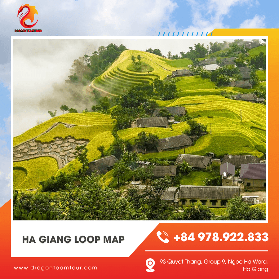
Understanding the Structure of the Ha Giang Loop Map
At first glance, the Ha Giang Loop map looks like a simple circular route in Northern Vietnam. In reality, the terrain is far more dynamic than it appears.
The Starting and Ending Point: Ha Giang City
Every Ha Giang Loop map begins and ends in Ha Giang City. This is where permits are arranged, motorbikes are prepared, and riders attend safety briefings before departure.
Dragon Team organizes this starting point carefully, ensuring you understand the route before you begin riding.
The Northern Arc: Yen Minh and Dong Van
From Ha Giang City, the road heads north toward Yen Minh. On the map, this section appears straightforward — but in reality, it gradually climbs into mountainous terrain with winding curves and panoramic viewpoints.
Continuing toward Dong Van, the map reveals a tighter, more dramatic section of road. This is where the landscape becomes truly spectacular.
The Eastern Edge: Ma Pi Leng Pass and Meo Vac
On any Ha Giang Loop map, the stretch between Dong Van and Meo Vac stands out. This is where Ma Pi Leng Pass curves dramatically along cliffs overlooking the Nho Que River.
Dragon Team carefully plans timing for this section to ensure visibility and safety, since weather conditions can shift quickly at higher altitudes.
Breaking Down the Ha Giang Loop Map Day by Day
A map alone doesn’t tell you how to pace the journey. Structuring it properly makes all the difference.
Day One Route: Ha Giang City to Yen Minh
The first day typically follows the western side of the Loop map. Roads transition from lower hills to limestone formations, introducing riders gradually to mountain terrain.
Dragon Team keeps the first day manageable, allowing riders to build confidence before reaching steeper sections.
Stops along this stretch include scenic viewpoints and small villages where you can stretch, hydrate, and take photos.
Day Two Route: Yen Minh to Dong Van via Ma Pi Leng
On the map, this appears as a narrow mountain stretch — and in real life, it’s even more dramatic. This section includes the legendary Ma Pi Leng Pass.
The road hugs steep cliffs, offering some of the most breathtaking views in Vietnam. The Nho Que River winds below, visible from carefully selected viewpoints.
With Dragon Team guiding the way, you’ll stop at safe photo locations rather than random roadside spots.
Day Three Route: Dong Van to Du Gia
This portion of the Ha Giang Loop map shifts southward into softer terrain. While still mountainous, the landscape becomes greener and more peaceful.
Du Gia offers waterfalls and rice fields, creating a calmer atmosphere after the intensity of the high passes.
Optional Day Four Route: Du Gia to Ha Giang City
For travelers choosing a four-day itinerary, the final stretch reconnects with Ha Giang City. This section allows for reflection, scenic stops, and a gradual return to the starting point.
Dragon Team ensures the final day feels smooth rather than rushed.
Key Landmarks to Identify on a Ha Giang Loop Map
Understanding landmarks helps you visualize the route before arriving.
Ma Pi Leng Pass
This is the most iconic highlight marked on any Ha Giang Loop map. It’s often considered Vietnam’s most spectacular mountain road.
The map shows it as a narrow curve between Dong Van and Meo Vac — but the reality is towering cliffs and expansive views that stretch endlessly.
Dong Van Karst Plateau
Recognized as a UNESCO Global Geopark, this area dominates much of the northern section of the map. Its limestone formations were shaped over millions of years.
Dragon Team’s guides share local insights that add depth to what you see beyond the map’s outline.
Du Gia Village
Located on the southeastern part of the Loop, Du Gia is known for its peaceful countryside and waterfall.
On the map, it may seem like just another stop — but in reality, it’s often the most relaxing and emotionally grounding part of the journey.

Digital Map vs. Local Knowledge
Many travelers rely entirely on GPS apps. While helpful, digital maps don’t tell the full story.
Limitations of GPS Navigation
Signal strength can drop in remote mountain areas. Weather changes may affect road conditions that aren’t updated in real time.
Relying solely on a Ha Giang Loop map app can sometimes create unnecessary stress.
Why Local Guides Make a Difference
Dragon Team combines map knowledge with lived experience. Their guides know:
-
Which roads become slippery after rain
-
When fog typically clears
-
Where to stop for the best sunrise views
This blend of technology and local insight ensures smoother navigation.
Adjusting the Route in Real Time
A professional team can adapt the route slightly based on weather, group skill level, or road conditions — something a static map cannot do.
Choosing the Right Riding Option for the Route
Your confidence level affects how you experience the map.
Self-Ride for Experienced Riders
If you’re comfortable on a motorbike, navigating the Ha Giang Loop map yourself can feel empowering. The winding curves and mountain climbs offer a rewarding challenge.
Dragon Team ensures bikes are properly maintained to handle the terrain.
Easy Rider for Relaxed Exploration
If you’re less experienced, the easy rider option allows you to sit behind a skilled local driver.
This option lets you focus entirely on the landscape rather than navigation.
Matching Pace to Comfort Level
A structured group tour ensures that daily distances align with rider comfort. Dragon Team prioritizes safety while maintaining an adventurous spirit.
Practical Tips for Using a Ha Giang Loop Map
Preparation enhances your confidence.
Download Offline Maps
Before departure, download offline versions of the Ha Giang Loop map in case signal drops.
Mark Key Stops in Advance
Identify major landmarks such as Ma Pi Leng Pass, Dong Van, and Du Gia before starting.
Stay Flexible
Mountain weather can change quickly. A little flexibility ensures you enjoy the journey rather than stressing over strict timelines.
The Emotional Experience Beyond the Map
A Ha Giang Loop map helps you navigate geography. But the real magic happens beyond the lines and directions.
Riding through mountain passes, feeling the wind against your jacket, and watching valleys stretch endlessly below — these moments can’t be captured by coordinates.
Evenings at local homestays, sharing meals and stories, create memories that feel far removed from daily life.
Dragon Team understands this emotional dimension. They use the map as a framework — but the real focus is on connection, safety, and shared adventure.
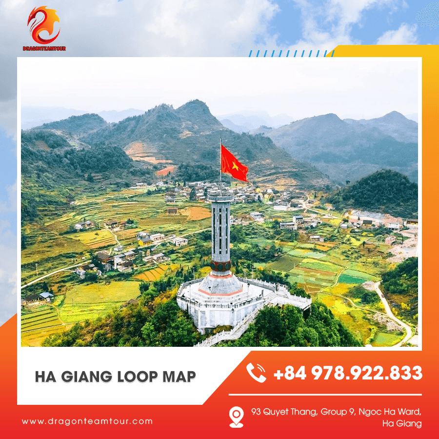
A well-studied Ha Giang Loop map is the foundation of a successful journey. Understanding the route helps you prepare mentally and physically for the adventure ahead. But maps alone don’t create unforgettable experiences. The pacing, local knowledge, and supportive atmosphere provided by a trusted team like Dragon Team transform a route into a story. When you combine careful planning with experienced guidance, the Ha Giang Loop becomes more than a motorbike circuit — it becomes one of the most meaningful chapters of your Vietnam travels.
So study the map, plan wisely, and get ready. Because once you’re riding through those limestone peaks, you’ll realize that the best journeys are never just about the destination — they’re about how you experience every turn along the way.


